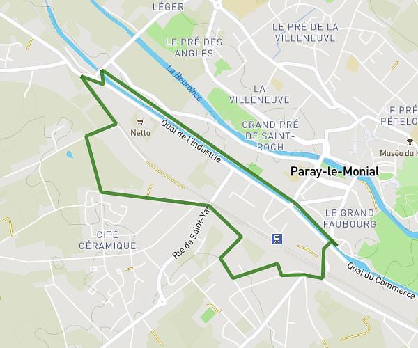
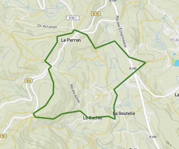
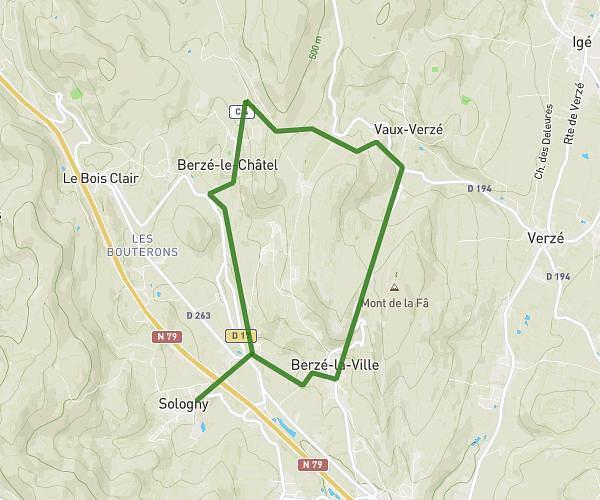
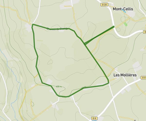
This running route covers 6.217mi starting from Curbigny, Saône-et-Loire. The run does not return to the trailhead and ends near 6 Rue De La Planchette, 71800 La Clayette, France. This run is rated as moderate, expect about 51m30s to complete it. The route has an elevation gain of 308ft and an elevation loss of 499ft.
Tour 10km
Route details
7.25mph
Speed
589 kcal
Calories burned
Point to point
Route type
1224ft
Min altitude
1444ft
Max altitude
Route profile
308ft
Elevation gain
499ft
Elevation loss
1224ft
Min altitude
1444ft
Max altitude
How to get there
Trailhead: 685 Route De La Lande, 71800 Curbigny, France
GPS coordinates of the trailhead: 46.31429, 4.33129 / 46°18'51'' N, 4°19'52'' E