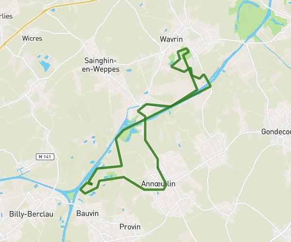
This running route covers 4.412mi starting from Comines-Warneton, Hainaut. The run is a loop trail and returns to the trailhead. This run is rated as easy, expect about 47m20s to complete it. The route has an elevation gain of 128ft and an elevation loss of 128ft.
Sortie du jeudi soir avec maman
Route details
5.59mph
Speed
541 kcal
Calories burned
Loop trail
Route type
23ft
Min altitude
59ft
Max altitude
Route profile
128ft
Elevation gain
128ft
Elevation loss
23ft
Min altitude
59ft
Max altitude
How to get there
Trailhead: Clos Des Châteaux, 7780 Comines-Warneton
GPS coordinates of the trailhead: 50.77606, 3.01241 / 50°46'33'' N, 3°0'44'' E