This running route covers 6.615mi starting from Romeries, Nord. The run is a loop trail and returns to the trailhead. This run is rated as moderate, expect about 1h4m to complete it. The route has an elevation gain of 95ft and an elevation loss of 95ft.
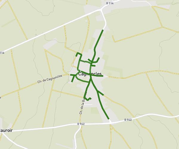
beaurainvendegies
Route details
6.2mph
Speed
732 kcal
Calories burned
Loop trail
Route type
305ft
Min altitude
400ft
Max altitude
Route profile
95ft
Elevation gain
95ft
Elevation loss
305ft
Min altitude
400ft
Max altitude
How to get there
Trailhead: 3 Rue Des Ecossais, 59730 Romeries, France
GPS coordinates of the trailhead: 50.20226, 3.52856 / 50°12'8'' N, 3°31'42'' E