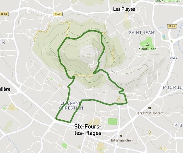
This walking route covers 6.644mi starting from Six-Fours-les-Plages, Var. The walk is a loop trail and returns to the trailhead. This walk is rated as hard, plan for about 2h23m to complete it. The route has an elevation gain of 338ft and an elevation loss of 341ft.
Reprise 2025
Route details
21:30/mi
Pace
584 kcal
Calories burned
Loop trail
Route type
0ft
Min altitude
95ft
Max altitude
Route profile
338ft
Elevation gain
341ft
Elevation loss
0ft
Min altitude
95ft
Max altitude
How to get there
Trailhead: Contre Allée De Lattre De Tassigny, 83140 Six-Fours-les-Plages
GPS coordinates of the trailhead: 43.0946, 5.83523 / 43°5'40'' N, 5°50'6'' E