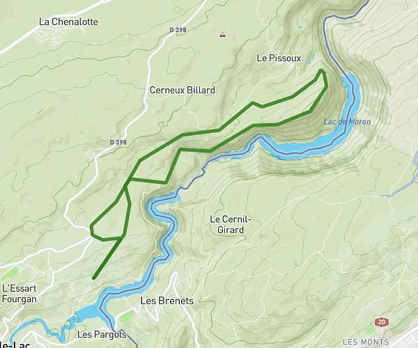
This walking route covers 1.246mi starting from La Chaux-de-Fonds, Neuchâtel. The walk does not return to the trailhead and ends near Rue Abraham-Robert, 2300 La Chaux-de-Fonds. This walk is rated as easy, plan for about 27m to complete it. The route has an elevation gain of 210ft and an elevation loss of 82ft.
Je rentre du bar à 3h00 du mat
Route details
21:39/mi
Pace
110 kcal
Calories burned
Point to point
Route type
3268ft
Min altitude
3458ft
Max altitude
Route profile
210ft
Elevation gain
82ft
Elevation loss
3268ft
Min altitude
3458ft
Max altitude
How to get there
Trailhead: Rue De L'avenir, 2300 La Chaux-de-Fonds
GPS coordinates of the trailhead: 47.10022, 6.8247 / 47°6'0'' N, 6°49'28'' E