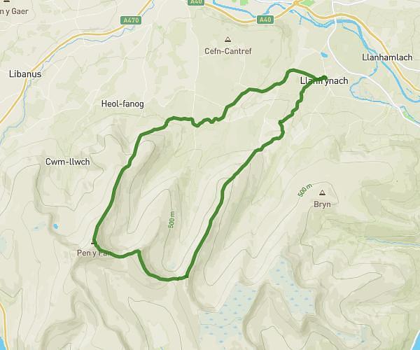
This hiking trail covers 16.099mi starting from Brecon, Wales. The hike does not return to the trailhead and ends near YHA Brecon Beacons, LD3 8NH Brecon. This hike is rated as strenuous, plan for about 10h40m to complete it. The route has an elevation gain of 2582ft and an elevation loss of 2047ft.
Sat/Sun
Route details
1.51mph
Speed
4707 kcal
Calories burned
5.4%
Avg grade
Point to point
Route type
486ft
Min altitude
2657ft
Max altitude
Route profile
2582ft
Elevation gain
2047ft
Elevation loss
486ft
Min altitude
2657ft
Max altitude
How to get there
Trailhead: The White Hart Inn, LD3 7JD Brecon
GPS coordinates of the trailhead: 51.89409, -3.28817 / 51°53'38'' N, 3°17'17'' W