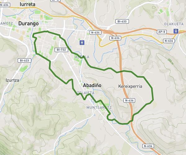
This hiking trail covers 5.791mi starting from Durango, Biscay. The hike is a loop trail and returns to the trailhead. This hike is rated as moderate, plan for about 1h50m to complete it. The route has an elevation gain of 906ft and an elevation loss of 902ft.
San juan de momoitio
Route details
3.16mph
Speed
808 kcal
Calories burned
5.9%
Avg grade
Loop trail
Route type
348ft
Min altitude
1066ft
Max altitude
Route profile
906ft
Elevation gain
902ft
Elevation loss
348ft
Min altitude
1066ft
Max altitude
How to get there
Trailhead: Artekalea 23, 48200 Durango, Biscay, Spain
GPS coordinates of the trailhead: 43.16702, -2.63164 / 43°10'1'' N, 2°37'53'' W