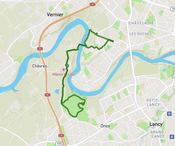
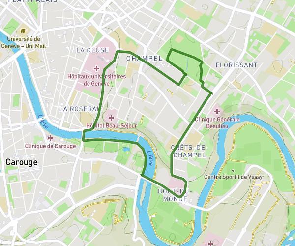
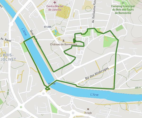
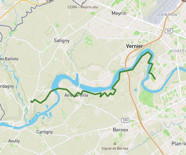
This running route covers 3.141mi starting from Genève, Geneva. The run is a loop trail and returns to the trailhead. This run is rated as easy, expect about 50m33s to complete it. The route has an elevation gain of 259ft and an elevation loss of 253ft.
Lake of Geneva goal
Route details
3.73mph
Speed
578 kcal
Calories burned
Loop trail
Route type
1217ft
Min altitude
1280ft
Max altitude
Route profile
259ft
Elevation gain
253ft
Elevation loss
1217ft
Min altitude
1280ft
Max altitude
How to get there
Trailhead: Quai Du Mont-Blanc, 1201 Genève
GPS coordinates of the trailhead: 46.2113, 6.15302 / 46°12'40'' N, 6°9'10'' E