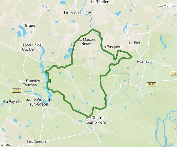
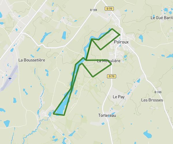
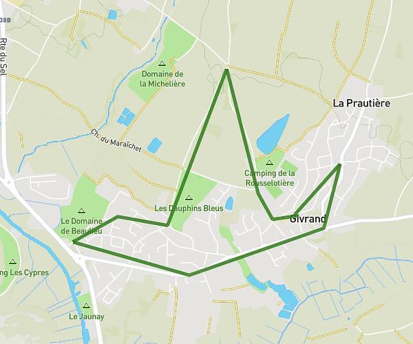
This running route covers 9.079mi starting from Les Sables-d'Olonne, Vendée. The run is a loop trail and returns to the trailhead. This run is rated as hard, expect about 1h28m to complete it. The route has an elevation gain of 59ft and an elevation loss of 85ft.
Les sables 2
Route details
6.19mph
Speed
1006 kcal
Calories burned
Loop trail
Route type
16ft
Min altitude
98ft
Max altitude
Route profile
59ft
Elevation gain
85ft
Elevation loss
16ft
Min altitude
98ft
Max altitude
How to get there
Trailhead: Rue Du Petit Versailles, 85340 Les Sables-d'Olonne
GPS coordinates of the trailhead: 46.47346, -1.72004 / 46°28'24'' N, 1°43'12'' W