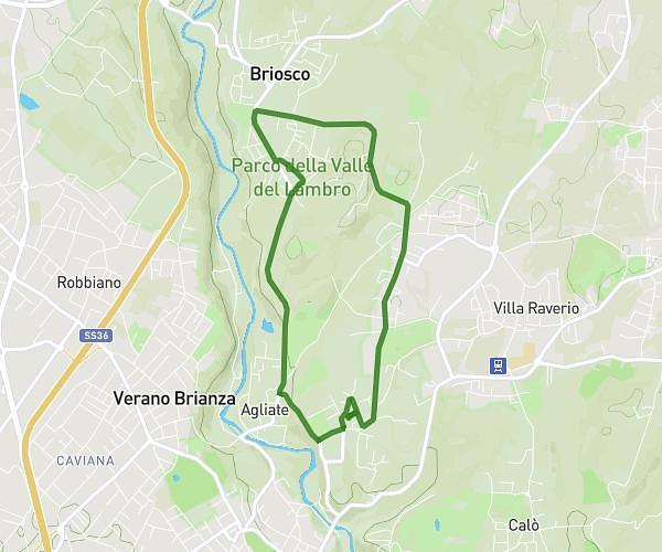
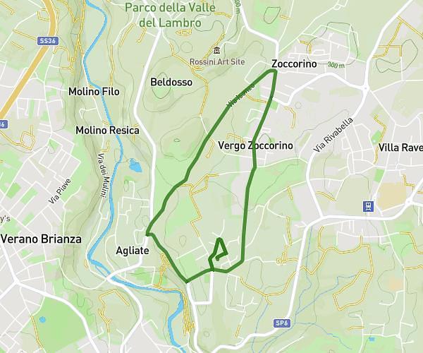
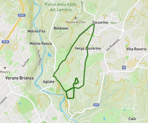
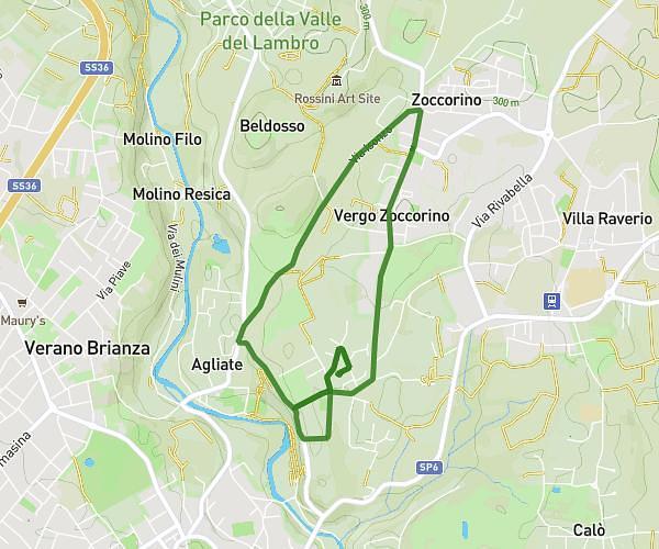
This running route covers 6.02mi starting from Lissone, Monza and Brianza. The run is a loop trail and returns to the trailhead. This run is rated as moderate, expect about 46m10s to complete it. The route has an elevation gain of 210ft and an elevation loss of 210ft.
LISUNADA 2026
Route details
7.82mph
Speed
528 kcal
Calories burned
Loop trail
Route type
673ft
Min altitude
705ft
Max altitude
Route profile
210ft
Elevation gain
210ft
Elevation loss
673ft
Min altitude
705ft
Max altitude
How to get there
Trailhead: Via Luigi Pirandello 18, 20851 Lissone Monza and Brianza, Italy
GPS coordinates of the trailhead: 45.632929, 9.232217 / 45°37'58'' N, 9°13'55'' E