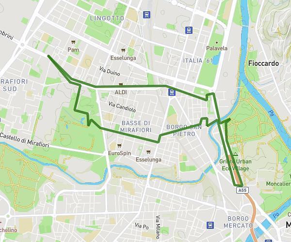
This running route covers 3.711mi starting from Mappano, Turin. The run does not return to the trailhead and ends near Via Tibaldi, 10071 Mappano. This run is rated as easy, expect about 32m52s to complete it. The route has an elevation gain of 20ft and an elevation loss of 20ft.
5km easy
Route details
6.77mph
Speed
376 kcal
Calories burned
Point to point
Route type
748ft
Min altitude
768ft
Max altitude
Route profile
20ft
Elevation gain
20ft
Elevation loss
748ft
Min altitude
768ft
Max altitude
How to get there
Trailhead: Via Borgaro, 10079 Mappano
GPS coordinates of the trailhead: 45.14713, 7.70343 / 45°8'49'' N, 7°42'12'' E