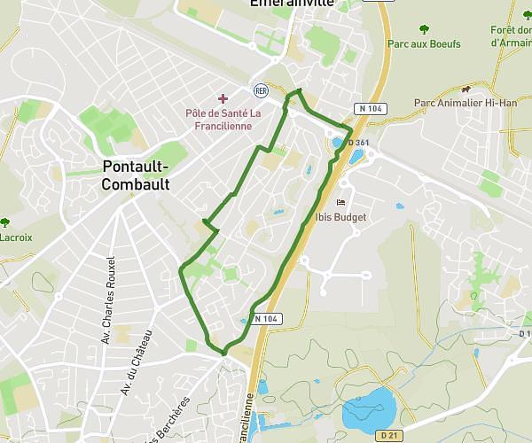
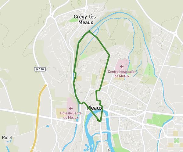
This running route covers 13.15mi starting from Meaux, Seine-et-Marne. The run does not return to the trailhead and ends near 3 Chemin De La Marine, 77100 Meaux, France. This run is rated as strenuous, expect about 2h21m to complete it. The route has an elevation gain of 584ft and an elevation loss of 591ft.
les Légendes
Route details
5.6mph
Speed
1612 kcal
Calories burned
Point to point
Route type
141ft
Min altitude
213ft
Max altitude
Route profile
584ft
Elevation gain
591ft
Elevation loss
141ft
Min altitude
213ft
Max altitude
How to get there
Trailhead: 1 Quai Jacques Prévert Prolongé, 77100 Meaux, France
GPS coordinates of the trailhead: 48.952835, 2.883035 / 48°57'10'' N, 2°52'58'' E