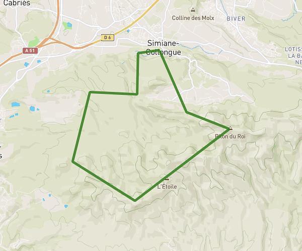
This running route covers 8.595mi starting from La Destrousse, Bouches-du-Rhône. The run is a loop trail and returns to the trailhead. This run is rated as hard, expect about 1h32m to complete it. The route has an elevation gain of 919ft and an elevation loss of 1014ft.
15KM
Route details
5.59mph
Speed
1054 kcal
Calories burned
Loop trail
Route type
512ft
Min altitude
840ft
Max altitude
Route profile
919ft
Elevation gain
1014ft
Elevation loss
512ft
Min altitude
840ft
Max altitude
How to get there
Trailhead: 15 Rue Le Deven, 13112 La Destrousse, France
GPS coordinates of the trailhead: 43.375321, 5.600899 / 43°22'31'' N, 5°36'3'' E