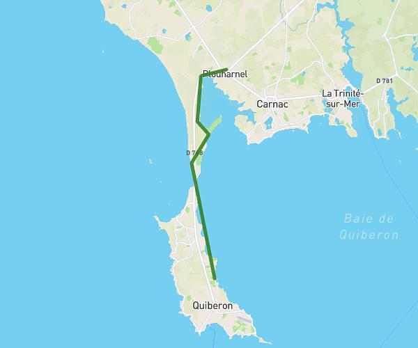
This walking route covers 11.34mi starting from Quiberon, Morbihan. The walk does not return to the trailhead and ends near Parc D'activité Du Plasker, 56340 Plouharnel. This walk is rated as strenuous, plan for about 4h3m to complete it. The route has an elevation gain of 371ft and an elevation loss of 331ft.
Aller quiberon
Route details
21:25/mi
Pace
992 kcal
Calories burned
Point to point
Route type
3ft
Min altitude
105ft
Max altitude
Route profile
371ft
Elevation gain
331ft
Elevation loss
3ft
Min altitude
105ft
Max altitude
How to get there
Trailhead: Boulevard Du Parco, 56170 Quiberon
GPS coordinates of the trailhead: 47.49982, -3.11986 / 47°29'59'' N, 3°7'11'' W