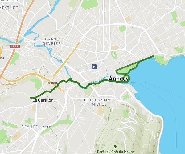
This running route covers 4.163mi starting from Aix-les-Bains, Savoie. The run is a loop trail and returns to the trailhead. This run is rated as easy, expect about 45m to complete it. The route has an elevation gain of 13ft and an elevation loss of 0ft.
LAST
Route details
5.55mph
Speed
515 kcal
Calories burned
Loop trail
Route type
758ft
Min altitude
771ft
Max altitude
Route profile
13ft
Elevation gain
0ft
Elevation loss
758ft
Min altitude
771ft
Max altitude
How to get there
Trailhead: 20 Avenue Daniel Rops, 73100 Aix-les-Bains, France
GPS coordinates of the trailhead: 45.69069, 5.89324 / 45°41'26'' N, 5°53'35'' E