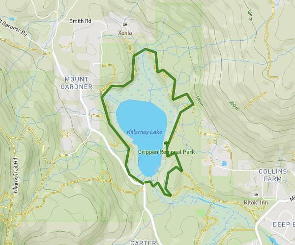
This hiking trail covers 8.016mi starting from Vancouver, British Columbia. The hike does not return to the trailhead and ends near . This hike is rated as moderate, plan for about 1h36m to complete it. The route has an elevation gain of 771ft and an elevation loss of 866ft.
UBC Endow Church to Imperial to SW Marine Dr to Imperial 8 mile
Route details
5.01mph
Speed
692 kcal
Calories burned
3.9%
Avg grade
Point to point
Route type
151ft
Min altitude
423ft
Max altitude
Route profile
771ft
Elevation gain
866ft
Elevation loss
151ft
Min altitude
423ft
Max altitude
How to get there
Trailhead: 5210 University Boulevard, Vancouver, British Columbia V6T 2H5, Canada
GPS coordinates of the trailhead: 49.263188, -123.2297 / 49°15'47'' N, 123°13'46'' W