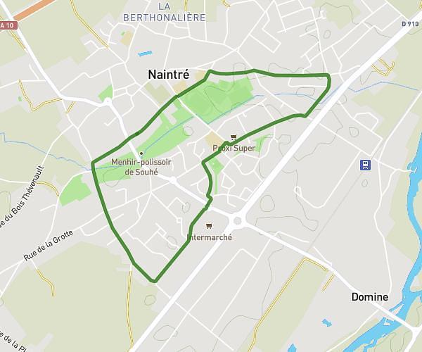
This walking route covers 0.762mi starting from Naintré, Vienne. The walk is a loop trail and returns to the trailhead. This walk is rated as easy, plan for about 16m to complete it. The route has an elevation gain of 10ft and an elevation loss of 10ft.
02 mai 24 bis jeudi
Route details
20:59/mi
Pace
65 kcal
Calories burned
Loop trail
Route type
200ft
Min altitude
207ft
Max altitude
Route profile
10ft
Elevation gain
10ft
Elevation loss
200ft
Min altitude
207ft
Max altitude
How to get there
Trailhead: Rue Jacques Duclos, 86530 Naintré
GPS coordinates of the trailhead: 46.76126, 0.48068 / 46°45'40'' N, 0°28'50'' E