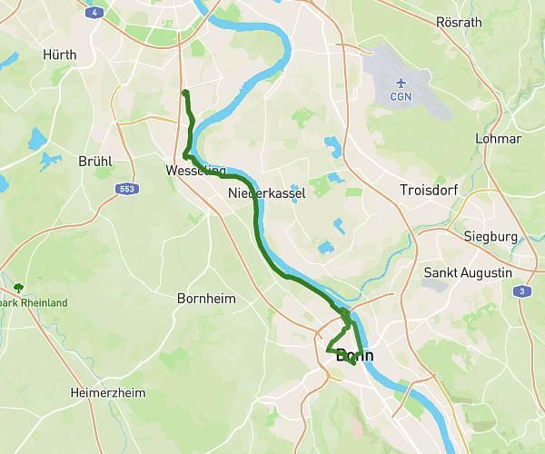
This cycling route covers 17.751mi starting from Attendorn, North Rhine-Westphalia. The ride does not return to the trailhead and ends near Stuckenfeld 1, 57489 Drolshagen, Germany. This route is rated as strenuous, plan for about 1h47m to complete it. The route has an elevation gain of 2470ft and an elevation loss of 2185ft.
Kreis
Route details
969 kcal
Calories burned
5.0%
Avg grade
Point to point
Route type
925ft
Min altitude
1486ft
Max altitude
Steep climb
Route profile
2470ft
Elevation gain
2185ft
Elevation loss
925ft
Min altitude
1486ft
Max altitude
How to get there
Trailhead: Repetalstraße 244, 57439 Attendorn, Germany
GPS coordinates of the trailhead: 51.119021, 7.970791 / 51°7'8'' N, 7°58'14'' E