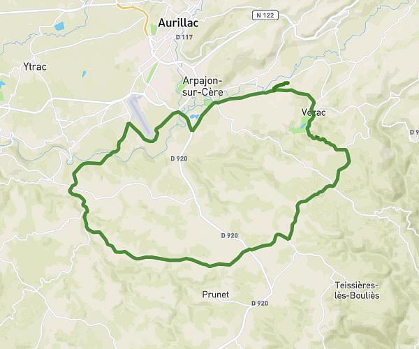
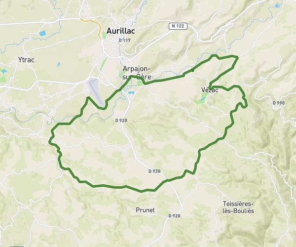
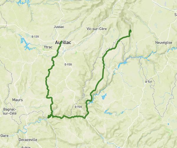
This cycling route covers 52.721mi starting from Aurillac, Cantal. The ride is a loop trail and returns to the trailhead. This route is rated as strenuous, plan for about 3h44m to complete it. The route has an elevation gain of 1463ft and an elevation loss of 1552ft.
jussac stillide marze stprojet legal routecrete
Route details
1979 kcal
Calories burned
1.1%
Avg grade
Loop trail
Route type
2070ft
Min altitude
3520ft
Max altitude
Route profile
1463ft
Elevation gain
1552ft
Elevation loss
2070ft
Min altitude
3520ft
Max altitude
How to get there
Trailhead: 11 Rue Fernand Léger, 15000 Aurillac, France
GPS coordinates of the trailhead: 44.93283, 2.43547 / 44°55'58'' N, 2°26'7'' E