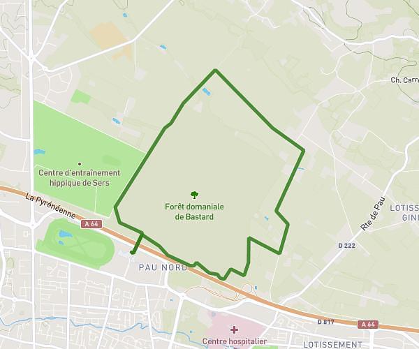
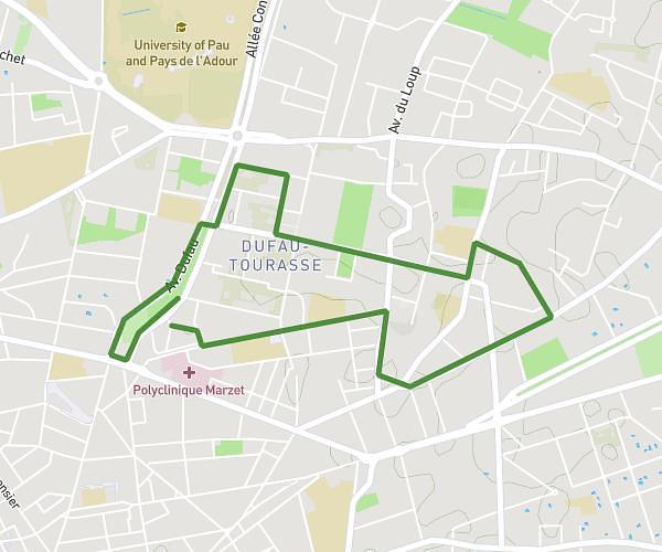
This running route covers 6.381mi starting from Pau, Pyrénées-Atlantiques. The run is a loop trail and returns to the trailhead. This run is rated as moderate, expect about 1h8m to complete it. The route has an elevation gain of 325ft and an elevation loss of 328ft.
Marche chateau d’este
Route details
5.63mph
Speed
777 kcal
Calories burned
Loop trail
Route type
558ft
Min altitude
696ft
Max altitude
Route profile
325ft
Elevation gain
328ft
Elevation loss
558ft
Min altitude
696ft
Max altitude
How to get there
Trailhead: 318 Boulevard De La Paix, 64000 Pau, France
GPS coordinates of the trailhead: 43.32303, -0.36882 / 43°19'22'' N, 0°22'7'' W