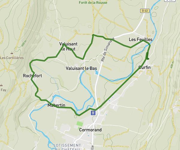
This running route covers 6.742mi starting from Bourg-en-Bresse, Ain. The run does not return to the trailhead and ends near 162 Allée Des Sports, 01250 Jasseron, France. This run is rated as moderate, expect about 1h10m to complete it. The route has an elevation gain of 102ft and an elevation loss of 39ft.
La Grinta
Route details
5.78mph
Speed
800 kcal
Calories burned
Point to point
Route type
755ft
Min altitude
856ft
Max altitude
Route profile
102ft
Elevation gain
39ft
Elevation loss
755ft
Min altitude
856ft
Max altitude
How to get there
Trailhead: 18 Rue De Cuiron, 01000 Bourg-en-Bresse, France
GPS coordinates of the trailhead: 46.190846, 5.238561 / 46°11'27'' N, 5°14'18'' E