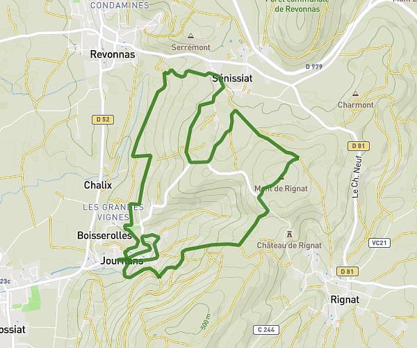
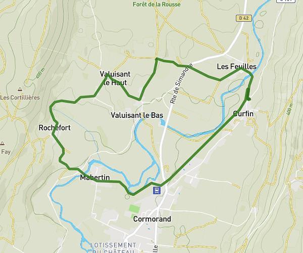
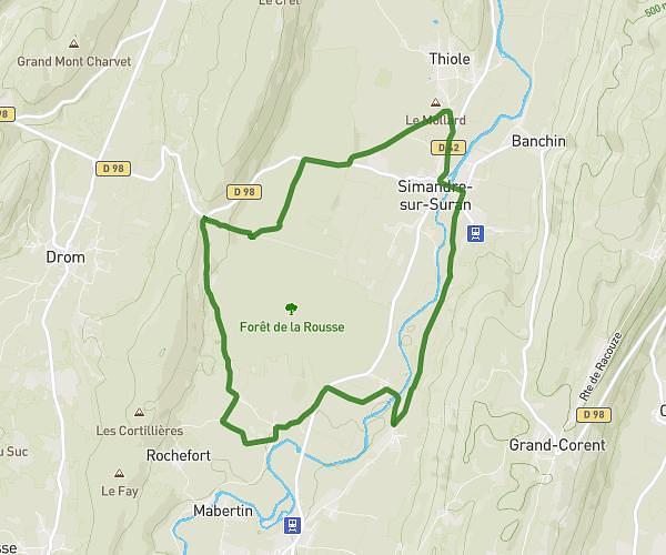
This running route covers 6.649mi starting from Villereversure, Ain. The run is a loop trail and returns to the trailhead. This run is rated as moderate, expect about 1h to complete it. The route has an elevation gain of 833ft and an elevation loss of 833ft.
Footing 04/04/26
Route details
6.65mph
Speed
686 kcal
Calories burned
Loop trail
Route type
1001ft
Min altitude
1634ft
Max altitude
Route profile
833ft
Elevation gain
833ft
Elevation loss
1001ft
Min altitude
1634ft
Max altitude
How to get there
Trailhead: Route De Curfin À Simandre, 01250 Villereversure, France
GPS coordinates of the trailhead: 46.20331, 5.410692 / 46°12'11'' N, 5°24'38'' E