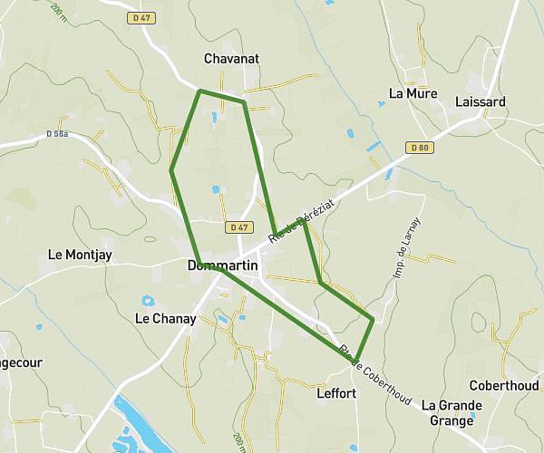
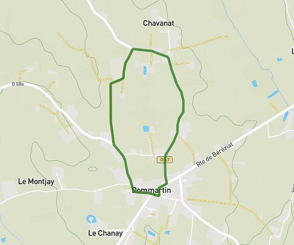
This running route covers 4.438mi starting from Bourg-en-Bresse, Ain. The run does not return to the trailhead and ends near 39 Chemin Des Liavoles, 01440 Viriat, France. This run is rated as easy, expect about 1h to complete it. The route has an elevation gain of 0ft and an elevation loss of 79ft.
So Club
Route details
4.44mph
Speed
686 kcal
Calories burned
Point to point
Route type
709ft
Min altitude
787ft
Max altitude
Route profile
0ft
Elevation gain
79ft
Elevation loss
709ft
Min altitude
787ft
Max altitude
How to get there
Trailhead: 18 Rue De Cuiron, 01000 Bourg-en-Bresse, France
GPS coordinates of the trailhead: 46.190954, 5.23856 / 46°11'27'' N, 5°14'18'' E