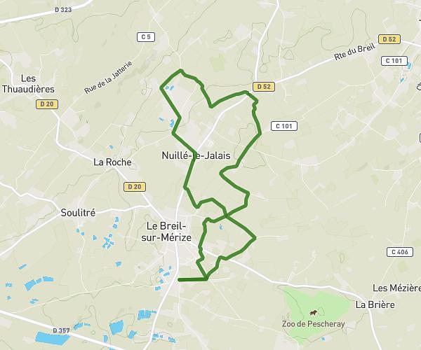
This walking route covers 17.133mi starting from Coudrecieux, Sarthe. The walk does not return to the trailhead and ends near D 72, 72440 Coudrecieux, France. This walk is rated as strenuous, plan for about 6h7m to complete it. The route has an elevation gain of 846ft and an elevation loss of 873ft.
Marche
Route details
21:27/mi
Pace
1501 kcal
Calories burned
Point to point
Route type
354ft
Min altitude
620ft
Max altitude
Route profile
846ft
Elevation gain
873ft
Elevation loss
354ft
Min altitude
620ft
Max altitude
How to get there
Trailhead: 6 Rue De La Mairie, 72440 Coudrecieux, France
GPS coordinates of the trailhead: 47.992385, 0.632954 / 47°59'32'' N, 0°37'58'' E