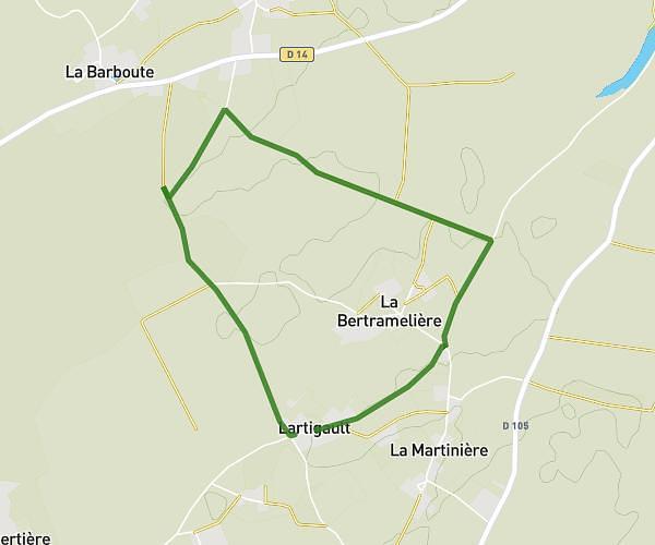
This running route covers 5.028mi starting from Souvigné, Deux-Sèvres. The run is a loop trail and returns to the trailhead. This run is rated as moderate, expect about 54m to complete it. The route has an elevation gain of 240ft and an elevation loss of 272ft.
Pallu
Route details
5.59mph
Speed
617 kcal
Calories burned
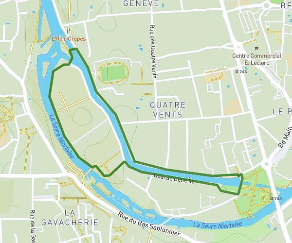
Loop trail
Route type
194ft
Min altitude
328ft
Max altitude
Route profile
240ft
Elevation gain
272ft
Elevation loss
194ft
Min altitude
328ft
Max altitude
How to get there
Trailhead: Chemin Du Boutier, 79800 Souvigné
GPS coordinates of the trailhead: 46.38366, -0.16899 / 46°23'1'' N, 0°10'8'' W