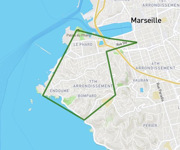
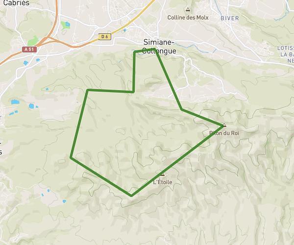
This running route covers 12.42mi starting from Rousset, Bouches-du-Rhône. The run is a loop trail and returns to the trailhead. This run is rated as moderate, expect about 1h59m to complete it. The route has an elevation gain of 364ft and an elevation loss of 335ft.
20km
Route details
6.21mph
Speed
1371 kcal
Calories burned
Loop trail
Route type
722ft
Min altitude
965ft
Max altitude
Route profile
364ft
Elevation gain
335ft
Elevation loss
722ft
Min altitude
965ft
Max altitude
How to get there
Trailhead: Lotissement Capelli, 13790 Rousset, France
GPS coordinates of the trailhead: 43.48114, 5.62767 / 43°28'52'' N, 5°37'39'' E