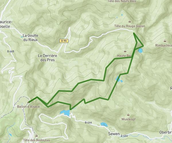
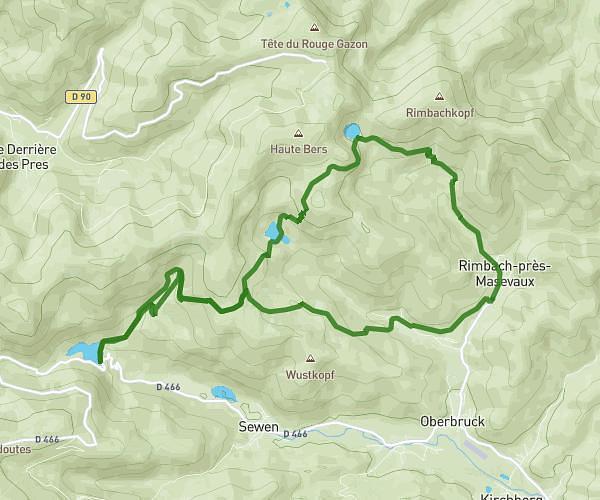
This hiking trail covers 6.188mi starting from Lepuix, Territoire de Belfort. The hike is a loop trail and returns to the trailhead. This hike is rated as hard, plan for about 2h35m to complete it. The route has an elevation gain of 1220ft and an elevation loss of 1240ft.
tour du Ballon d'Alsace
Route details
2.4mph
Speed
1153 kcal
Calories burned
7.5%
Avg grade
Loop trail
Route type
3248ft
Min altitude
3737ft
Max altitude
Route profile
1220ft
Elevation gain
1240ft
Elevation loss
3248ft
Min altitude
3737ft
Max altitude
How to get there
Trailhead: D 466, 90200 Lepuix, France
GPS coordinates of the trailhead: 47.810504, 6.84679 / 47°48'37'' N, 6°50'48'' E