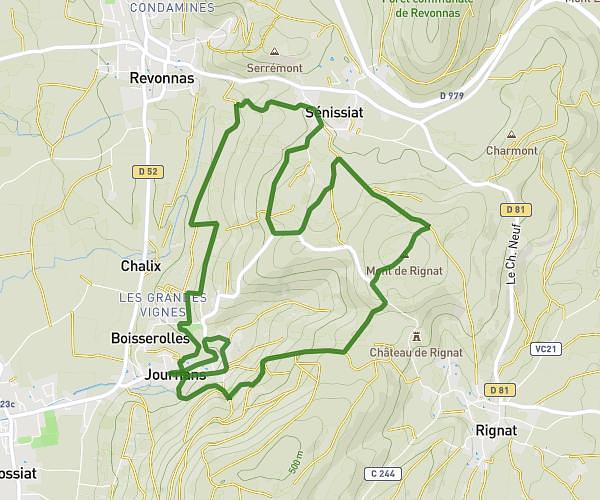
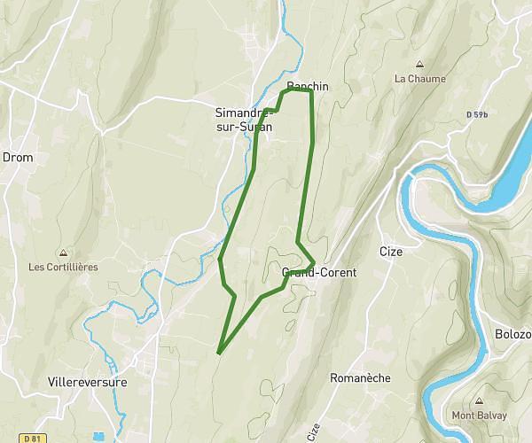
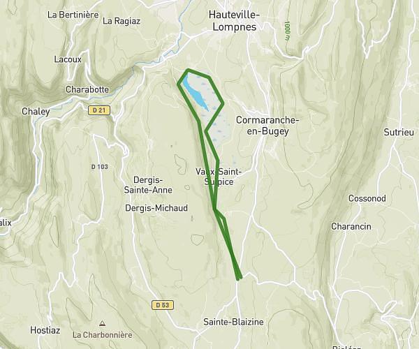
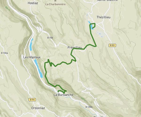
This running route covers 13.11mi starting from Neuville-sur-Ain, Ain. The run does not return to the trailhead and ends near Chemin De La Croix, 01160 Neuville-sur-Ain. This run is rated as strenuous, expect about 4h to complete it. The route has an elevation gain of 1289ft and an elevation loss of 1168ft.
Semi
Route details
3.27mph
Speed
2744 kcal
Calories burned
Point to point
Route type
837ft
Min altitude
1480ft
Max altitude
Route profile
1289ft
Elevation gain
1168ft
Elevation loss
837ft
Min altitude
1480ft
Max altitude
How to get there
Trailhead: Chemin De La Folliat, 01160 Neuville-sur-Ain
GPS coordinates of the trailhead: 46.10781, 5.38619 / 46°6'28'' N, 5°23'10'' E