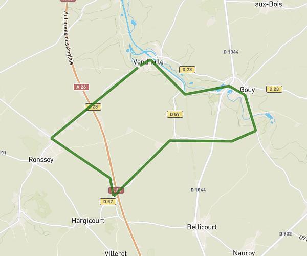
This running route covers 12.481mi starting from Paillencourt, Nord. The run is a loop trail and returns to the trailhead. This run is rated as strenuous, expect about 2h30s to complete it. The route has an elevation gain of 525ft and an elevation loss of 528ft.
20k
Route details
6.21mph
Speed
1378 kcal
Calories burned
Loop trail
Route type
98ft
Min altitude
236ft
Max altitude
Route profile
525ft
Elevation gain
528ft
Elevation loss
98ft
Min altitude
236ft
Max altitude
How to get there
Trailhead: 12 Rue Martin Du Nord, 59295 Paillencourt, France
GPS coordinates of the trailhead: 50.242958, 3.277966 / 50°14'34'' N, 3°16'40'' E