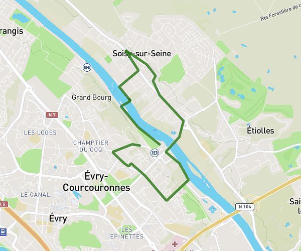
This running route covers 6.686mi starting from Itteville, Essonne. The run is a loop trail and returns to the trailhead. This run is rated as moderate, expect about 1h4m to complete it. The route has an elevation gain of 233ft and an elevation loss of 230ft.
Itteville
Route details
6.21mph
Speed
738 kcal
Calories burned
Loop trail
Route type
177ft
Min altitude
246ft
Max altitude
Route profile
233ft
Elevation gain
230ft
Elevation loss
177ft
Min altitude
246ft
Max altitude
How to get there
Trailhead: 1b Impasse Des Charmilles, 91760 Itteville, France
GPS coordinates of the trailhead: 48.52964, 2.34192 / 48°31'46'' N, 2°20'30'' E