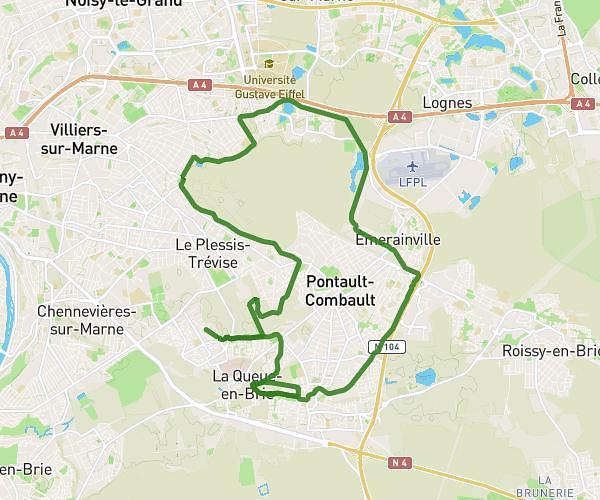
This running route covers 3.242mi starting from L'Haÿ-les-Roses, Val-de-Marne. The run is a loop trail and returns to the trailhead. This run is rated as easy, expect about 31m18s to complete it. The route has an elevation gain of 226ft and an elevation loss of 226ft.
L'hayssienne
Route details
6.21mph
Speed
358 kcal
Calories burned
Loop trail
Route type
157ft
Min altitude
312ft
Max altitude
Route profile
226ft
Elevation gain
226ft
Elevation loss
157ft
Min altitude
312ft
Max altitude
How to get there
Trailhead: 121 Avenue Flouquet, 94240 L'Haÿ-les-Roses, France
GPS coordinates of the trailhead: 48.76989, 2.32208 / 48°46'11'' N, 2°19'19'' E