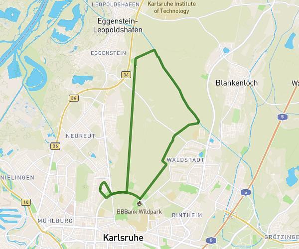
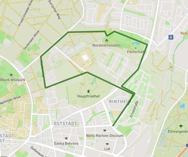
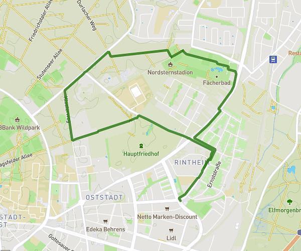
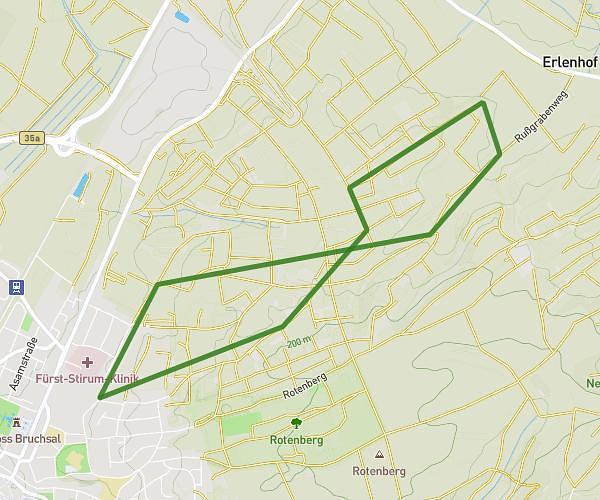
This running route covers 11.589mi starting from Rheinstetten, Baden-Württemberg. The run is a loop trail and returns to the trailhead. This run is rated as strenuous, expect about 2h4m to complete it. The route has an elevation gain of 863ft and an elevation loss of 860ft.
18km
Route details
5.6mph
Speed
1418 kcal
Calories burned
Loop trail
Route type
0ft
Min altitude
397ft
Max altitude
Route profile
863ft
Elevation gain
860ft
Elevation loss
0ft
Min altitude
397ft
Max altitude
How to get there
Trailhead: Rastatter Straße 16, 76287 Rheinstetten, Germany
GPS coordinates of the trailhead: 48.957591, 8.289883 / 48°57'27'' N, 8°17'23'' E