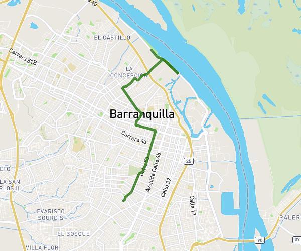
This running route covers 11.683mi starting from Barranquilla, Atlántico. The run is a loop trail and returns to the trailhead. This run is rated as strenuous, expect about 2h5m to complete it. The route has an elevation gain of 512ft and an elevation loss of 512ft.
Puerto Mocho
Route details
5.59mph
Speed
1433 kcal
Calories burned
Loop trail
Route type
3ft
Min altitude
49ft
Max altitude
Route profile
512ft
Elevation gain
512ft
Elevation loss
3ft
Min altitude
49ft
Max altitude
How to get there
Trailhead: Av 40 67 240, 080002 Barranquilla, Atlántico, Colombia
GPS coordinates of the trailhead: 11.003301, -74.786143 / 11°0'11'' N, 74°47'10'' W