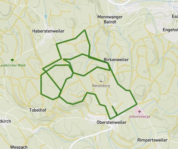
This running route covers 3.516mi starting from Meckenbeuren, Baden-Württemberg. The run is a loop trail and returns to the trailhead. This run is rated as easy, expect about 38m to complete it. The route has an elevation gain of 305ft and an elevation loss of 305ft.
5km
Route details
5.55mph
Speed
434 kcal
Calories burned
Loop trail
Route type
1332ft
Min altitude
1470ft
Max altitude
Route profile
305ft
Elevation gain
305ft
Elevation loss
1332ft
Min altitude
1470ft
Max altitude
How to get there
Trailhead: Inselstraße 9, 88074 Meckenbeuren, Germany
GPS coordinates of the trailhead: 47.702082, 9.550308 / 47°42'7'' N, 9°33'1'' E