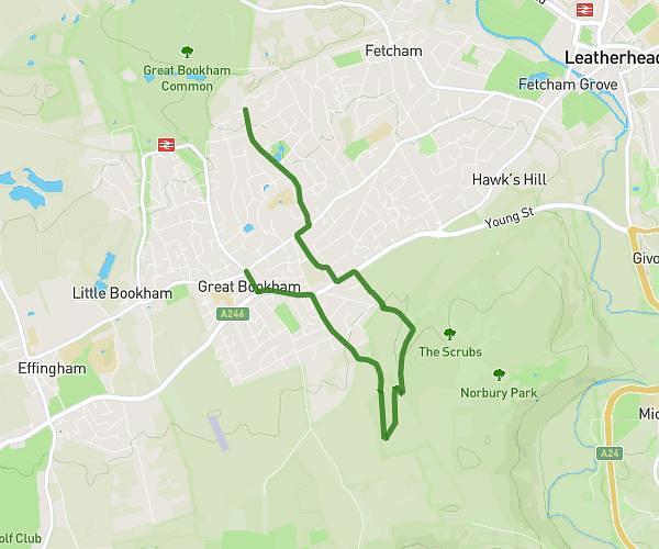
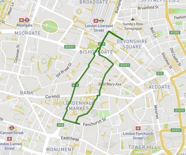
This walking route covers 3.336mi starting from London, England. The walk does not return to the trailhead and ends near Parliament Square, SW1A 2JX London. This walk is rated as moderate, plan for about 1h12m to complete it. The route has an elevation gain of 213ft and an elevation loss of 220ft.
Saturday Morning
Route details
17:05/mi
Pace
294 kcal
Calories burned
Point to point
Route type
10ft
Min altitude
69ft
Max altitude
Route profile
213ft
Elevation gain
220ft
Elevation loss
10ft
Min altitude
69ft
Max altitude
How to get there
Trailhead: Buckingham Palace Road, SW1W 0AH London
GPS coordinates of the trailhead: 51.49542, -0.14571 / 51°29'43'' N, 0°8'44'' W