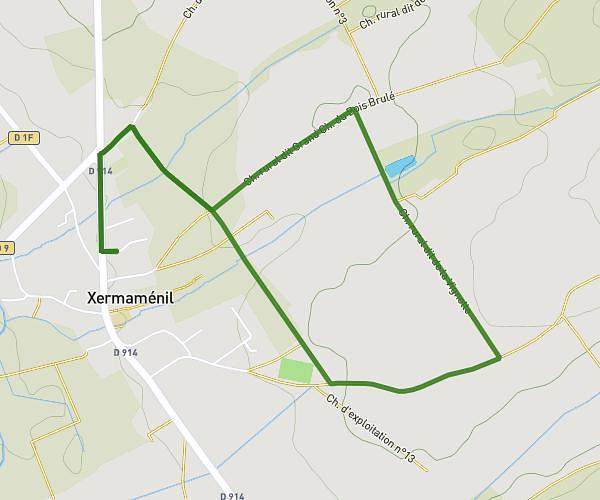
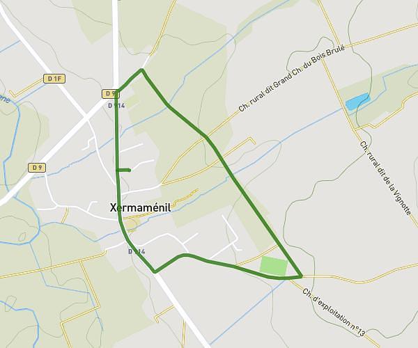
This running route covers 6.234mi starting from Saint-Max, Meurthe-et-Moselle. The run is a loop trail and returns to the trailhead. This run is rated as moderate, expect about 1h7m to complete it. The route has an elevation gain of 292ft and an elevation loss of 305ft.
10 km
Route details
5.57mph
Speed
768 kcal
Calories burned
Loop trail
Route type
646ft
Min altitude
728ft
Max altitude
Route profile
292ft
Elevation gain
305ft
Elevation loss
646ft
Min altitude
728ft
Max altitude
How to get there
Trailhead: 13 Rue Du Docteur Roux, 54130 Saint-Max, France
GPS coordinates of the trailhead: 48.705542, 6.212467 / 48°42'19'' N, 6°12'44'' E