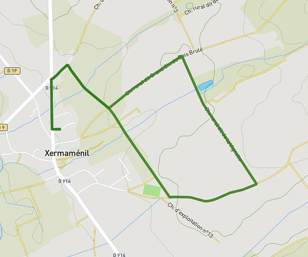
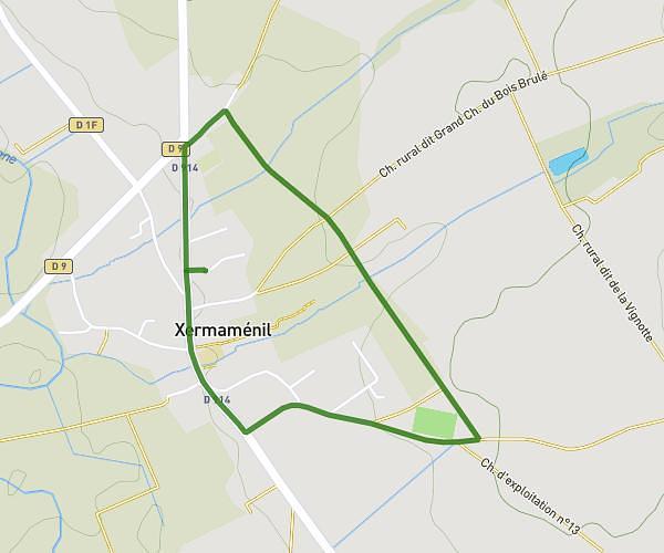
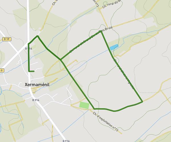
This running route covers 4.484mi starting from Saint-Max, Meurthe-et-Moselle. The run does not return to the trailhead and ends near 114 Avenue Foch, 54270 Essey-lès-Nancy, France. This run is rated as easy, expect about 51m44s to complete it. The route has an elevation gain of 459ft and an elevation loss of 479ft.
6,5 km - 135m d+
Route details
5.2mph
Speed
591 kcal
Calories burned
Point to point
Route type
646ft
Min altitude
951ft
Max altitude
Route profile
459ft
Elevation gain
479ft
Elevation loss
646ft
Min altitude
951ft
Max altitude
How to get there
Trailhead: 28 Rue Du Docteur Roux, 54130 Saint-Max, France
GPS coordinates of the trailhead: 48.705299, 6.212918 / 48°42'19'' N, 6°12'46'' E