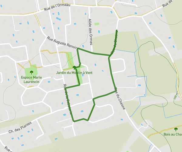
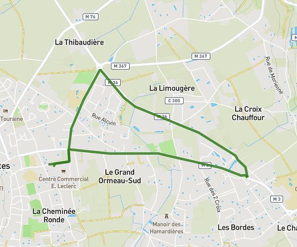
This walking route covers 3.983mi starting from Amboise, Indre-et-Loire. The walk is a loop trail and returns to the trailhead. This walk is rated as moderate, plan for about 2h30m to complete it. The route has an elevation gain of 276ft and an elevation loss of 279ft.
Balade de l'étang du Palis
Route details
37:43/mi
Pace
613 kcal
Calories burned
Loop trail
Route type
246ft
Min altitude
387ft
Max altitude
Route profile
276ft
Elevation gain
279ft
Elevation loss
246ft
Min altitude
387ft
Max altitude
How to get there
Trailhead: 560 Chemin Blanc, 37400 Amboise, France
GPS coordinates of the trailhead: 47.399328, 0.945103 / 47°23'57'' N, 0°56'42'' E