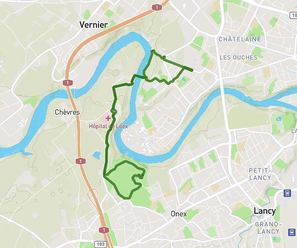
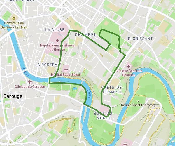
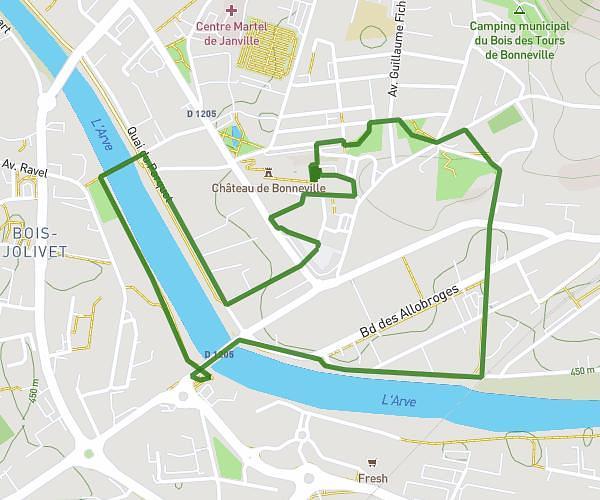
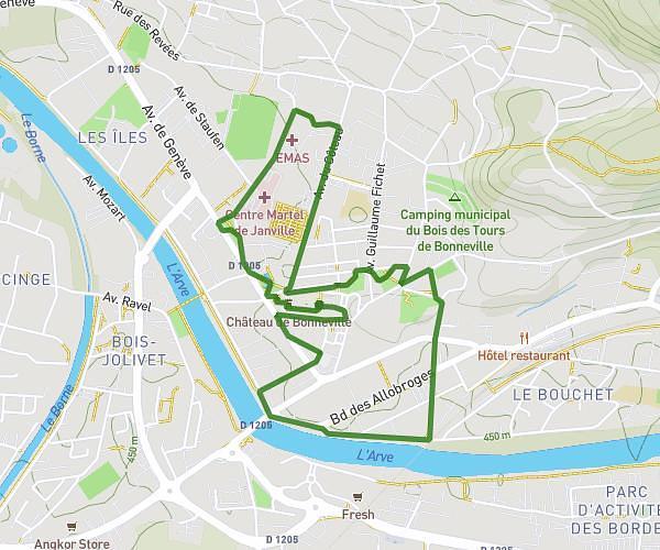
This running route covers 4.817mi starting from Ville-la-Grand, Haute-Savoie. The run does not return to the trailhead and ends near Chemin Frank- Thomas 32, 1208 Genève, Switzerland. This run is rated as easy, expect about 48m12s to complete it. The route has an elevation gain of 243ft and an elevation loss of 299ft.
Annemasse Genève
Route details
6.0mph
Speed
551 kcal
Calories burned
Point to point
Route type
1365ft
Min altitude
1437ft
Max altitude
Route profile
243ft
Elevation gain
299ft
Elevation loss
1365ft
Min altitude
1437ft
Max altitude
How to get there
Trailhead: 87 Rue Marguerite Yourcenar, 74100 Ville-la-Grand, France
GPS coordinates of the trailhead: 46.200733, 6.235657 / 46°12'2'' N, 6°14'8'' E