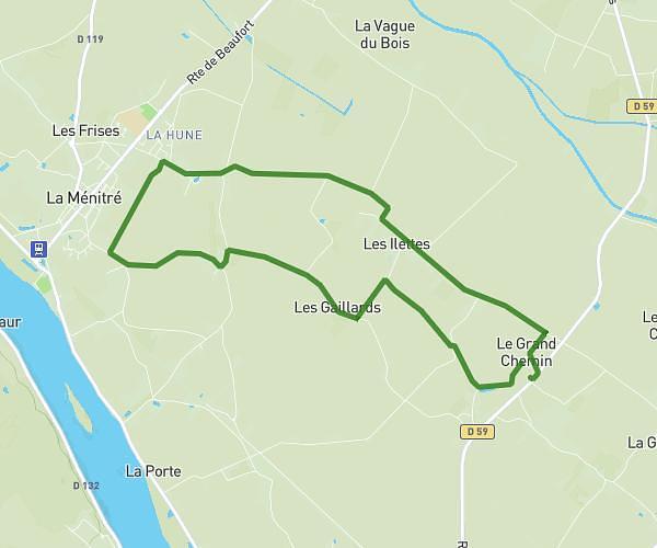
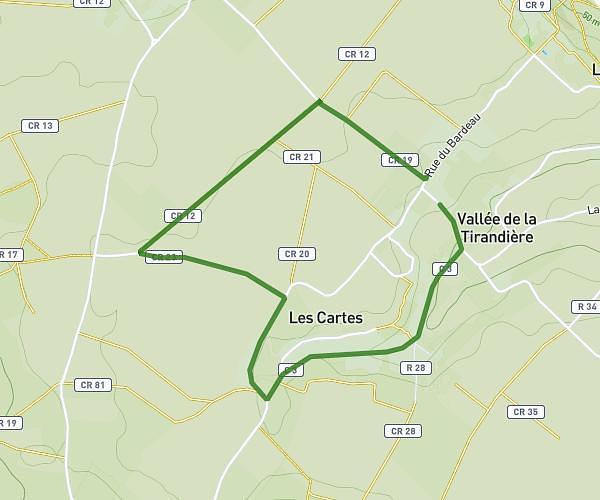
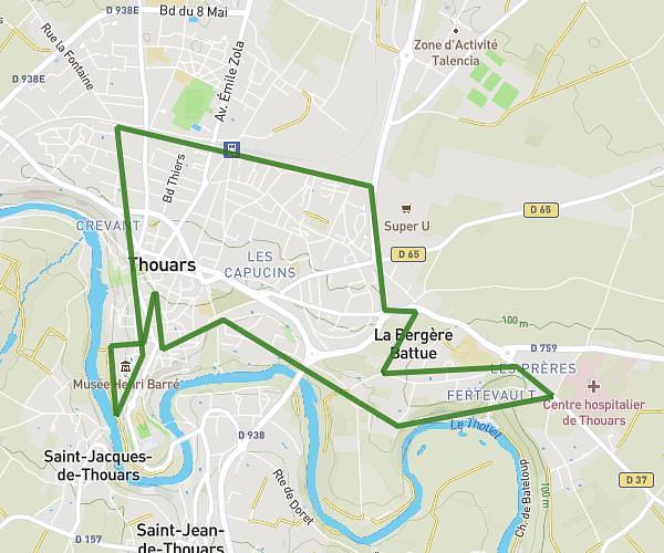
This running route covers 7.176mi starting from Varrains, Maine-et-Loire. The run does not return to the trailhead and ends near 30 Chemin Du Paradis, 49400 Villebernier, France. This run is rated as moderate, expect about 1h9m to complete it. The route has an elevation gain of 7ft and an elevation loss of 49ft.
Varrains - Villebernier
Route details
6.24mph
Speed
789 kcal
Calories burned
Point to point
Route type
79ft
Min altitude
128ft
Max altitude
Route profile
7ft
Elevation gain
49ft
Elevation loss
79ft
Min altitude
128ft
Max altitude
How to get there
Trailhead: 44 Rue Du Ruau, 49400 Varrains, France
GPS coordinates of the trailhead: 47.2236, -0.06708 / 47°13'24'' N, 0°4'1'' W