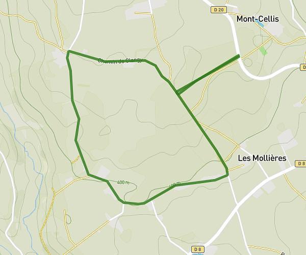
This running route covers 5.229mi starting from Bois-Sainte-Marie, Saône-et-Loire. The run is a loop trail and returns to the trailhead. This run is rated as moderate, expect about 2h to complete it. The route has an elevation gain of 125ft and an elevation loss of 92ft.
Bois sainte Marie
Route details
2.62mph
Speed
1372 kcal
Calories burned
Loop trail
Route type
1342ft
Min altitude
1434ft
Max altitude
Route profile
125ft
Elevation gain
92ft
Elevation loss
1342ft
Min altitude
1434ft
Max altitude
How to get there
Trailhead: 92 Route De La Grange, 71800 Bois-Sainte-Marie, France
GPS coordinates of the trailhead: 46.32932, 4.35506 / 46°19'45'' N, 4°21'18'' E