MapPlanner
4.599mi
Distance
1h39m
Duration
21:30/mi
Pace
Moderate
Level

B2R

Route details

21:30/mi
Pace
404 kcal
Calories burned
Loop trail
Route type
62ft
Min altitude
154ft
Max altitude

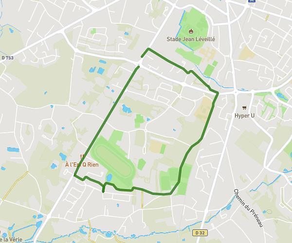
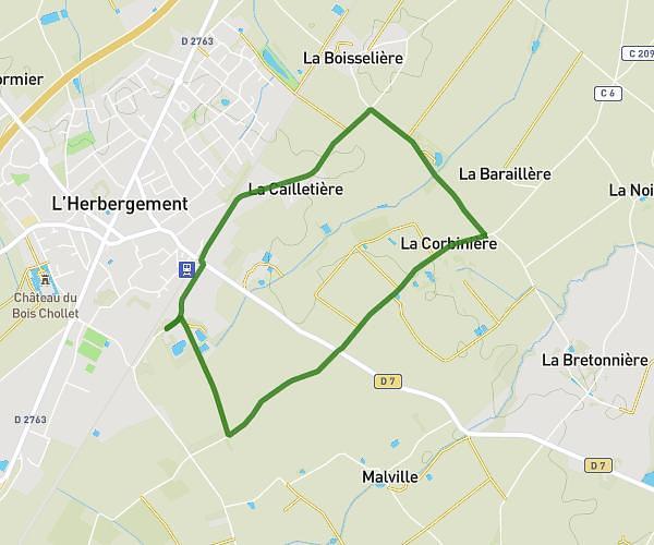
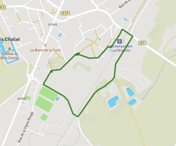
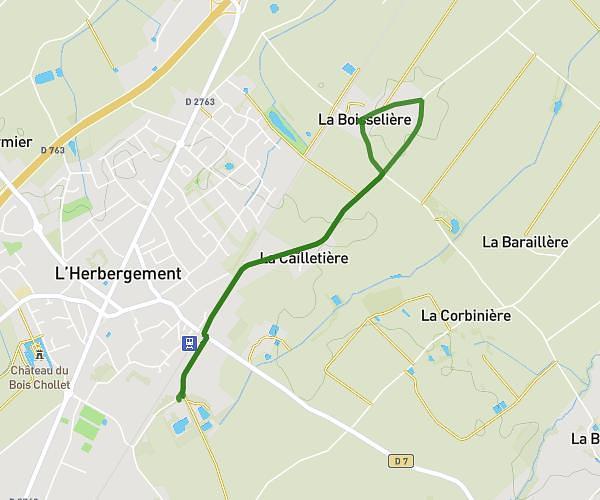
This walking route covers 4.599mi starting from Palluau, Vendée. The walk is a loop trail and returns to the trailhead. This walk is rated as moderate, plan for about 1h39m to complete it. The route has an elevation gain of 223ft and an elevation loss of 223ft.

Route profile

223ft
Elevation gain
223ft
Elevation loss
62ft
Min altitude
154ft
Max altitude

How to get there

Trailhead: Rue André Dorion, 85670 Palluau

GPS coordinates of the trailhead: 46.80089, -1.62634 / 46°48'3'' N, 1°37'34'' W

Caution: May Cross Private Property

This route may pass through or near private property. Always respect posted signs, obtain permission where required, and follow local trespassing laws. MapPlanner does not guarantee public access along any route.

Safety Notice

Trail and road conditions may change without notice due to weather, construction, or other factors. Always verify current conditions before heading out. You are responsible for your own safety — follow local signage, obey traffic laws, and use your best judgment on the trail.