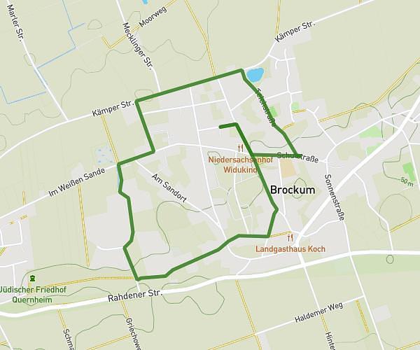
This hiking trail covers 2.186mi starting from Brockum, Lower Saxony. The hike is a loop trail and returns to the trailhead. This hike is rated as easy, plan for about 1h45m to complete it. The route has an elevation gain of 89ft and an elevation loss of 89ft.
Kohltour Brockum Feldwege
Route details
1.24mph
Speed
748 kcal
Calories burned
1.5%
Avg grade
Loop trail
Route type
131ft
Min altitude
161ft
Max altitude
Route profile
89ft
Elevation gain
89ft
Elevation loss
131ft
Min altitude
161ft
Max altitude
How to get there
Trailhead: Heinrichstraße 7, 49448 Brockum, Germany
GPS coordinates of the trailhead: 52.469354, 8.414078 / 52°28'9'' N, 8°24'50'' E