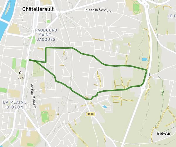
This running route covers 3.723mi starting from Châtellerault, Vienne. The run is a loop trail and returns to the trailhead. This run is rated as easy, expect about 40m to complete it. The route has an elevation gain of 154ft and an elevation loss of 151ft.
Long mais chill 1
Route details
5.59mph
Speed
457 kcal
Calories burned
Loop trail
Route type
184ft
Min altitude
226ft
Max altitude
Route profile
154ft
Elevation gain
151ft
Elevation loss
184ft
Min altitude
226ft
Max altitude
How to get there
Trailhead: 61 Boulevard Aristide Briand, 86100 Châtellerault, France
GPS coordinates of the trailhead: 46.811352, 0.544159 / 46°48'40'' N, 0°32'38'' E