MapPlanner
14.228mi
Distance
1h26m
Duration
9.93mph
Speed
+440ft
Elevation gain
-443ft
Elevation loss
Moderate
Level

BICICLETTATA GRANDI CENTRO ESTIVO 2025

Route details

758 kcal
Calories burned
1.2%
Avg grade
Loop trail
Route type
1594ft
Min altitude
1893ft
Max altitude

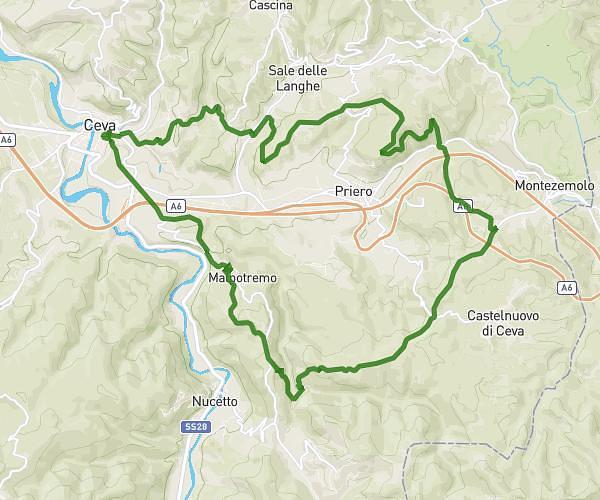
This cycling route covers 14.228mi starting from Busca, Cuneo. The ride is a loop trail and returns to the trailhead. This route is rated as moderate, plan for about 1h26m to complete it. The route has an elevation gain of 440ft and an elevation loss of 443ft.

Route profile

440ft
Elevation gain
443ft
Elevation loss
1594ft
Min altitude
1893ft
Max altitude

How to get there

Trailhead: Via Lerda 1, 12022 Busca Cuneo, Italy

GPS coordinates of the trailhead: 44.48045, 7.50129 / 44°28'49'' N, 7°30'4'' E

Caution: May Cross Private Property

This route may pass through or near private property. Always respect posted signs, obtain permission where required, and follow local trespassing laws. MapPlanner does not guarantee public access along any route.

Safety Notice

Trail and road conditions may change without notice due to weather, construction, or other factors. Always verify current conditions before heading out. You are responsible for your own safety — follow local signage, obey traffic laws, and use your best judgment on the trail.