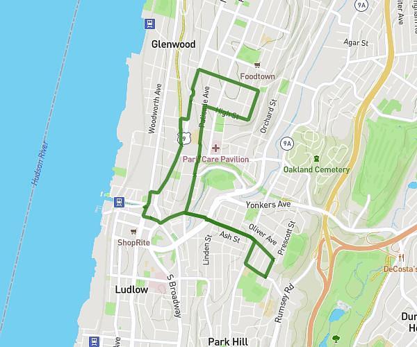
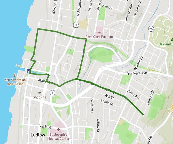
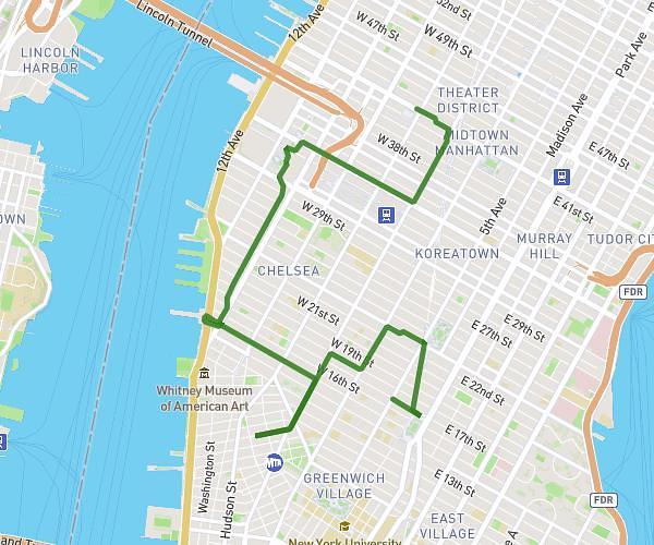
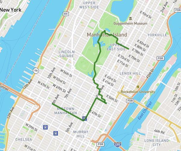
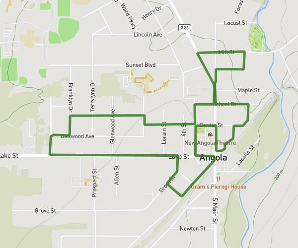
This walking route covers 2.903mi starting from Yonkers, New York. The walk is a loop trail and returns to the trailhead. This walk is rated as easy, plan for about 1h2m to complete it. The route has an elevation gain of 348ft and an elevation loss of 341ft.
Glenwood Ave hill
Route details
21:22/mi
Pace
253 kcal
Calories burned
Loop trail
Route type
36ft
Min altitude
354ft
Max altitude
Route profile
348ft
Elevation gain
341ft
Elevation loss
36ft
Min altitude
354ft
Max altitude
How to get there
Trailhead: 50 Nepperhan Street, Yonkers, New York 10701, United States
GPS coordinates of the trailhead: 40.935106, -73.899523 / 40°56'6'' N, 73°53'58'' W