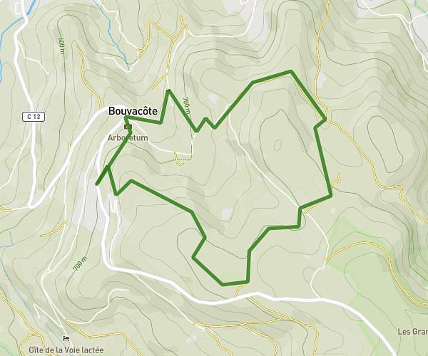
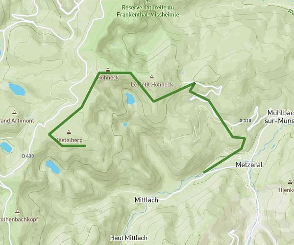
This hiking trail covers 11.164mi starting from Orbey, Haut-Rhin. The hike does not return to the trailhead and ends near Chemin De La Récompense, 68370 Orbey, France. This hike is rated as strenuous, plan for about 5h1m to complete it. The route has an elevation gain of 3120ft and an elevation loss of 2930ft.
Pairis Hautes Chaumes
Route details
2.22mph
Speed
2293 kcal
Calories burned
10.3%
Avg grade
Point to point
Route type
1719ft
Min altitude
4275ft
Max altitude
Steep climb
Route profile
3120ft
Elevation gain
2930ft
Elevation loss
1719ft
Min altitude
4275ft
Max altitude
How to get there
Trailhead: 232 Route De Pairis, 68370 Orbey, France
GPS coordinates of the trailhead: 48.11682, 7.126102 / 48°7'0'' N, 7°7'33'' E