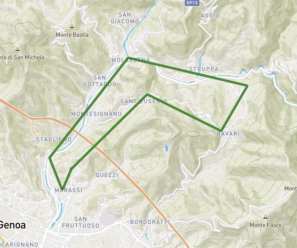
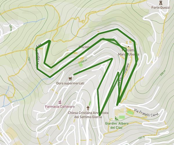
This walking route covers 4.14mi starting from Genova, Genoa. The walk is a loop trail and returns to the trailhead. This walk is rated as easy, plan for about 55m11s to complete it. The route has an elevation gain of 1158ft and an elevation loss of 1158ft.
Robino/Biscione 2
Route details
13:20/mi
Pace
225 kcal
Calories burned
Loop trail
Route type
384ft
Min altitude
663ft
Max altitude
Route profile
1158ft
Elevation gain
1158ft
Elevation loss
384ft
Min altitude
663ft
Max altitude
How to get there
Trailhead: Via Aurelio Robino 233, 16142 Genova Genoa, Italy
GPS coordinates of the trailhead: 44.42296, 8.95749 / 44°25'22'' N, 8°57'26'' E