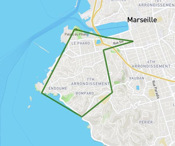
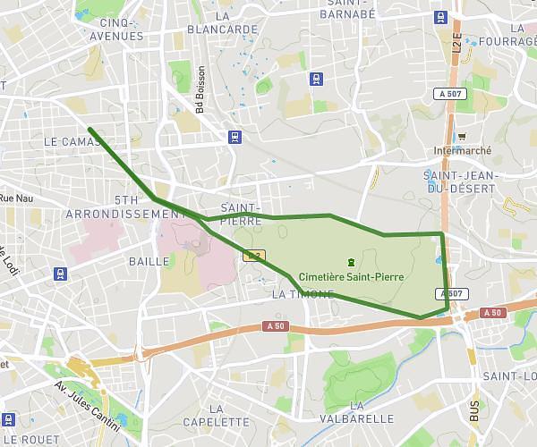
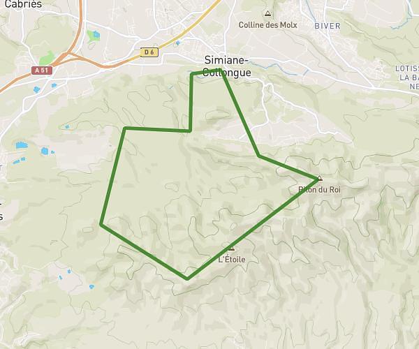
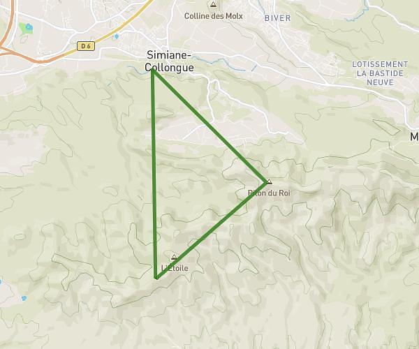
This running route covers 10.324mi starting from Aix-en-Provence, Bouches-du-Rhône. The run is a loop trail and returns to the trailhead. This run is rated as hard, expect about 1h51m to complete it. The route has an elevation gain of 2297ft and an elevation loss of 2303ft.
Sortie trail
Route details
5.58mph
Speed
1269 kcal
Calories burned
Loop trail
Route type
679ft
Min altitude
1148ft
Max altitude
Route profile
2297ft
Elevation gain
2303ft
Elevation loss
679ft
Min altitude
1148ft
Max altitude
How to get there
Trailhead: 96 Avenue Jean Et Marcel Fontenaille, 13100 Aix-en-Provence, France
GPS coordinates of the trailhead: 43.533197, 5.468075 / 43°31'59'' N, 5°28'5'' E