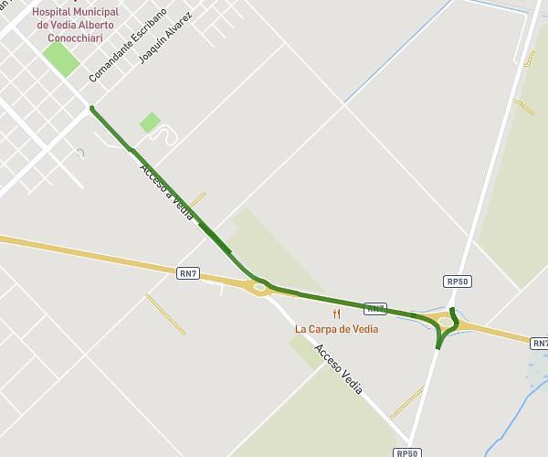
This running route covers 2.993mi starting from Vedia, Buenos Aires Province. The run does not return to the trailhead and ends near 9 De Julio, Vedia, Buenos Aires Province, B6030, Argentina. This run is rated as easy, expect about 32m to complete it. The route has an elevation gain of 98ft and an elevation loss of 102ft.
Mary
Route details
5.61mph
Speed
366 kcal
Calories burned
Point to point
Route type
279ft
Min altitude
308ft
Max altitude
Route profile
98ft
Elevation gain
102ft
Elevation loss
279ft
Min altitude
308ft
Max altitude
How to get there
Trailhead: Acceso A Vedia, Vedia, Buenos Aires Province, B6030, Argentina
GPS coordinates of the trailhead: -34.508864, -61.524335 / 34°30'31'' S, 61°31'27'' W